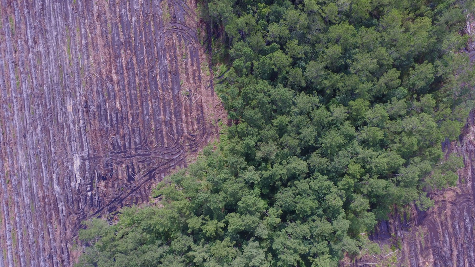

Drones, Imagery Bring Precision Agriculture Concepts to Forestry
The revolution of precision agriculture—with its continuous mapping and monitoring of crop needs and drone-guided planting, weeding, and fertilizing to improve crop health—has arrived in the forest.
Just like farmers use mapping to optimize growing conditions, foresters can apply sophisticated tools to better plan and manage the forest.
F&W Forestry Services, for one, applies a geographic information system (GIS) approach to assess the health of clients’ forests and maximize lumber yield. F&W’s forest consultants are increasingly using drones to capture details to guide forest management plans and to simply provide a top-down view of the forest.